Marine Themes Vector
Marine Themes Vector is our intelligent dataset, it is derived from authoritative material obtained from the UK, and other, Hydrographic Offices, as well as comprehensive source data where available.
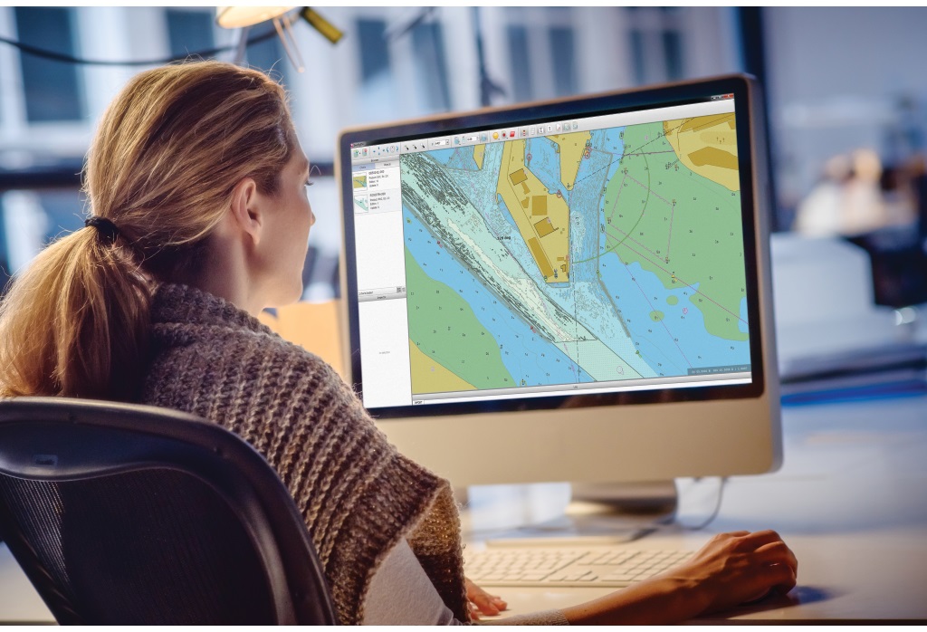
Marine Themes Vector is engineered into logical data layers for easy loading and efficient use in desktop and web-based Geographic Information Systems (GIS). Data attributes have been designed with analysis and querying in mind. Chart boundaries have been removed to create a seamless, simplified dataset across charts. This dataset is available in GIS compatible file formats or as a data service from our Licensed Partners.
Marine geographical features are grouped according to type as follows:
- Elevation
- Shipwrecks and Obstructions
- Industrial Facilities
- Transport
- Administrative and Management Units
- Geographical Regions
These data layers provide a comprehensive marine map and are ideal for applications where the user needs to choose, analyse or derive the features, based on data type or attribute, to be displayed. To learn more about data content, check out our comprehensive Feature Catalogue or Request our Sample Data, that includes our Marine & Coastal Data Products User Guide.
How to buy?
Commercial customers can purchase Marine Themes Vector and our other mapping products via our Licensed Partners. We have a network of Licensed Partners who resell our data products. See our Find A Partner page or click on any of our mapping partners below to be redirected to their website.
Europe
Channel Islands
Asia
Suitable symbology is provided as standard (e.g. Esri Layer, Cadcorp NOL files) so the data is ready for immediate use in GIS. Take a look at our demonstration website or download our sample data.
If you are still not sure which dataset is best for your needs, please refer to our Data Buying Guide or see our Data FAQs for more assistance.


