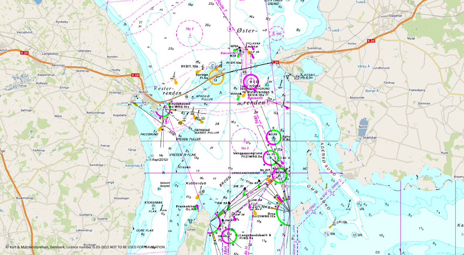
Raster Charts XL Extended Across Europe

As part of our ongoing commitment to product development, we have recently completed the extended coverage of our Raster Charts XL product across Europe to include France, Belgium, Netherlands, Germany, Denmark and Sweden. Available as an OGC compliant Web Map Tile Service (WMTS) it is very easy to add this data to your existing GIS mapping. We have been working with customers to enable them to consume the WMTS through ArcGIS Online whilst ensuring the service remains secure. Vattenfall, one of Europe’s leading generators of electricity, heat and natural gas, is already taking advantage of this extended coverage. Wider coverage and easier access means users no longer have to handle local updates as we can now manage these as part of the service provided.


