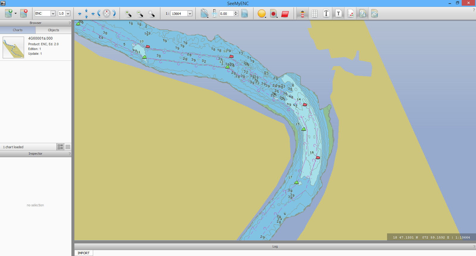
Port ENCs for Major Ports Group in India

Working with our new Licensed Partner, Elcome Integrated Systems PVT, we have taken source hydrographic data, and combined it with infrastructure and navigation aids data, to create a Port ENC for a river in India which currently doesn’t have any standard ENC coverage. The client supplied data in various formats (AutoCAD DXF, XYZ and Microsoft Excel) which we combined in GIS, along with sourcing topographic data for the river, to produce the additional features required in the ENC. Using OceanWise’s ENC Writer Extension we were able to generate a Port ENC with 1m contour intervals to give the best detail for those navigating to a new port.


