Data Product and Service Developments
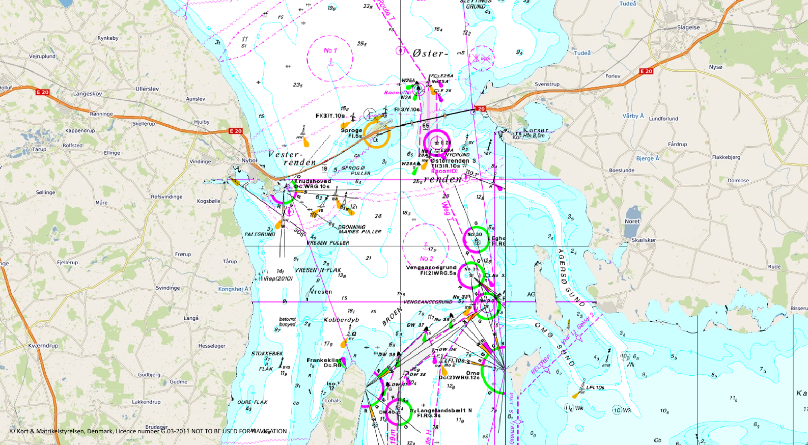
 We have greatly expanded our Raster Charts XL coverage to Northern Europe including France, Belgium, Netherlands, Germany and Denmark with Sweden to be added in the next few months. Available as Web Map Tile Service (WMTS), it provides wider coverage, ease of access and negates the need to handle local updates, as we will manage these as part of the service. We have also been working with customers to enable them to consume the WMTS through ArcGIS Online (AGOL) while still keeping the service secure. For our vector data, Marine Themes updates of UK Waters were delivered to our government customers and Licensed Partners in July, with our next Digital Elevation Model (DEM) update planned for January 2018.


